

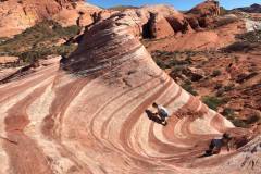
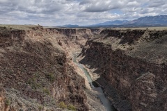
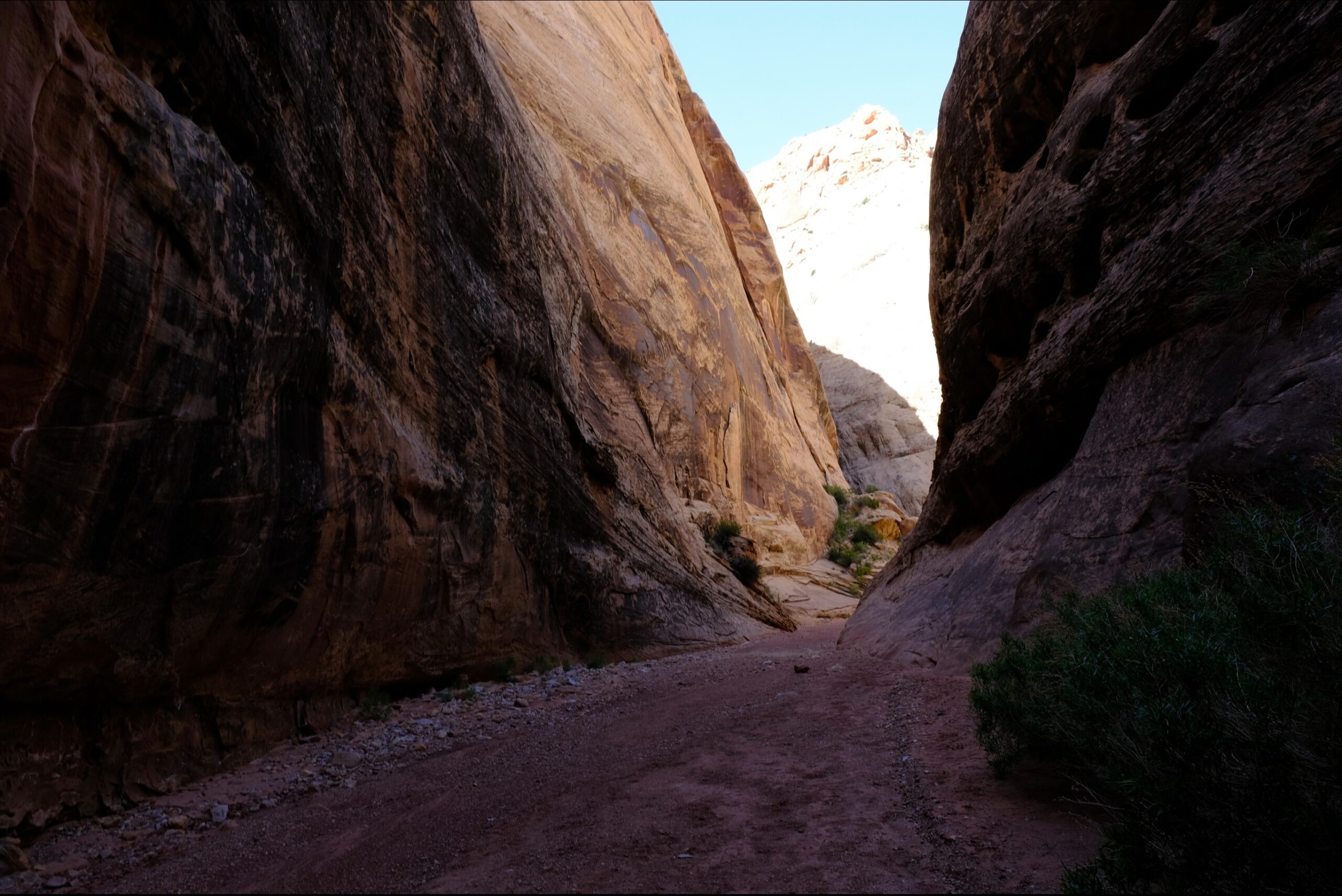
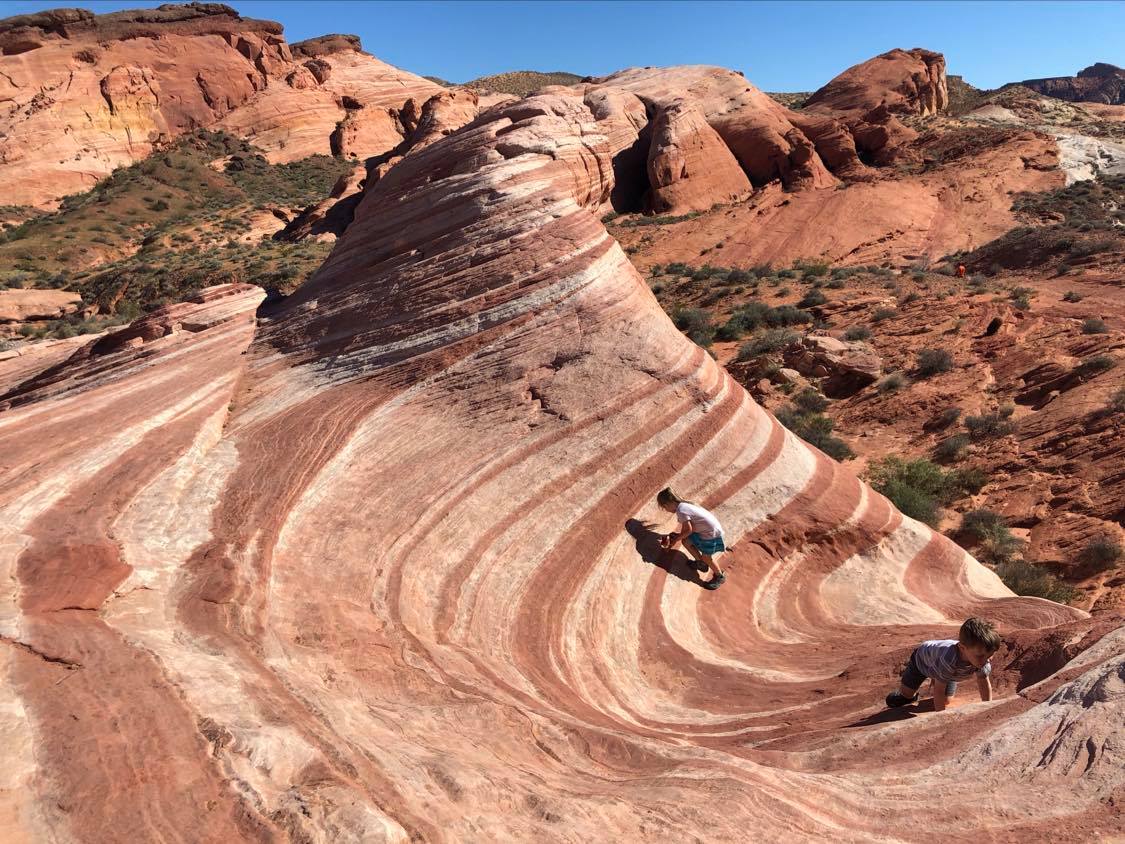
The narrows section of this canyon is short, only about half a mile long. But it is spectacular, and reminds many visitors of a miniature version of the famous Zion Narrows.
We have attempted this trail twice. Once was when the kids were younger and it was a hot summer day around nap time, and they just weren’t having it. We started on the west side and turned around a mile in. It was just one of those days. So we came back a few years later and attempted it from the East side and made it to the Narrows! A little past the narrows. We figured we already did the West side so we turned around and make it a 4 mile hike instead of a 6.
I would say that the East side is the best place to start, and then you can turn around at the Narrows and if you’re feeling good go and Hike Cassidy Arch as well! Sounds like a good day and then you can go rest at camp or enjoy a nice pie or some fresh fruit from the orchard in the fall.
LENGTH:
- 4 – 6.25 Miles round trip. we went a little beyond the Narrows and then turned around.
- You can hike back the way you came once you reach Cassidy Arch and the Scenic Road. But there are alternatives, such as having a shuttle waiting at the trailhead on the Scenic Road, or hiking up the Cassidy Arch Trail, onto the Frying Pan Trail, and down into Cohab Canyon. This route would drop hikers back on Highway 24, but 2.84 miles west of the northeastern Grand Wash trailhead.
TRAIL DETAILS:
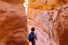
Grand Wash is a famous gorge that cuts its way through the upper portion of the Waterpocket Fold in Capitol Reef National Park. The wash connects the Scenic Road as it heads south past Cassidy Arch, to Highway 24 just east of Spring Canyon. The wash is level throughout almost the entire route, though it is full of streambed sediment. Only at the narrow does the trail close in and get tight.
- GRAND WASH NORTHEAST TRAILHEAD The northeast trailhead is actually the lower end of the canyon, and empties into the Fremont River. The northeast trailhead is just over 300 feet in elevation lower than the southwest trailhead, meaning that there is very little of a noticeable slope throughout the hike.
- GRAND WASH NARROWS The narrows section of this canyon is short, only about half a mile long. But it is spectacular, and reminds many visitors of a miniature version of the famous Zion Narrows.
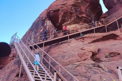
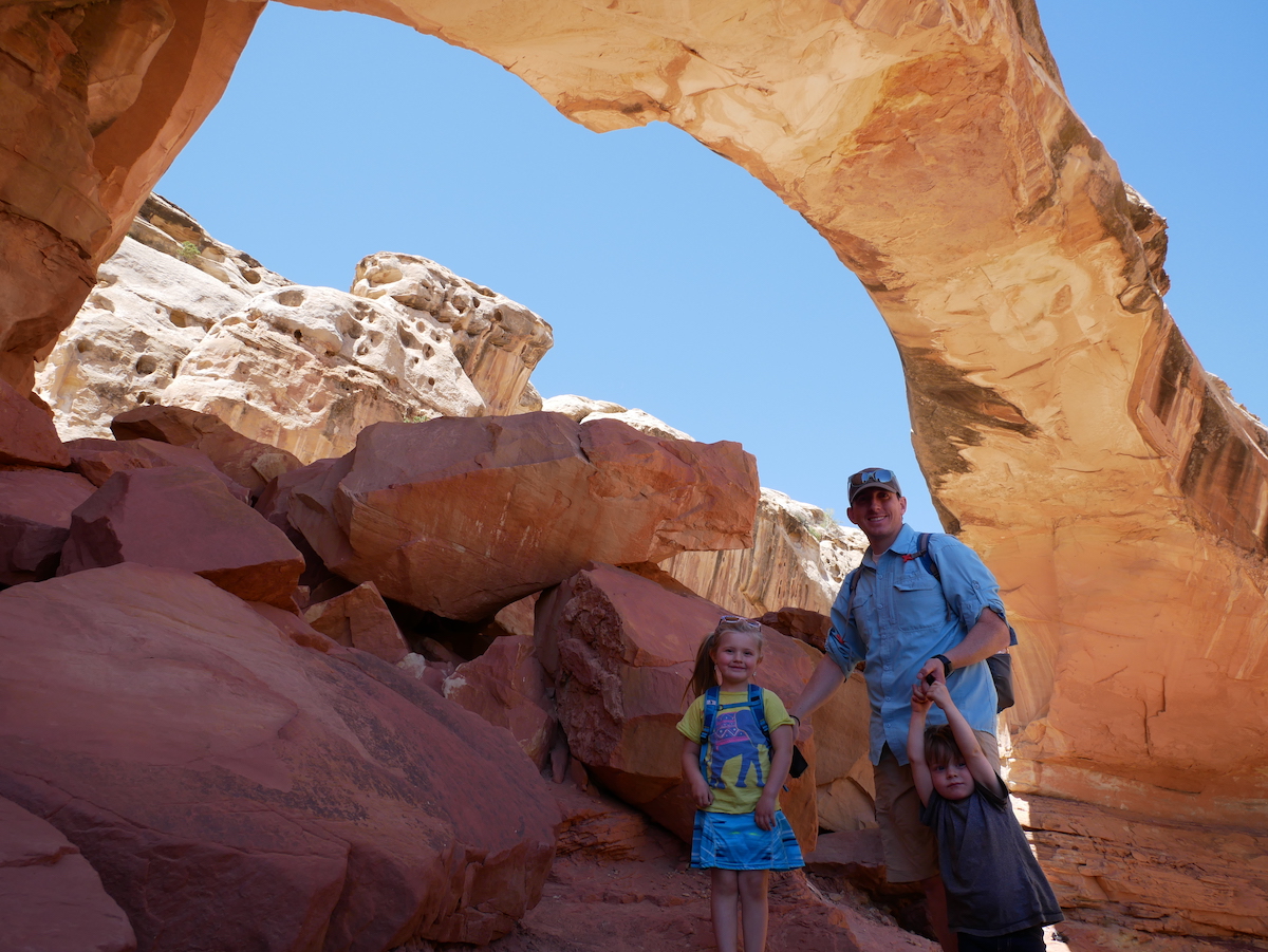
- CASSIDY ARCH TRAIL JUNCTION Cassidy Arch is a large, well-formed arch along the rim of the Waterpocket Fold, just above the junction of Grand Wash and the Scenic Road. The trail takes hikers up above the arch, or onto the Frying Pan Trail, a hike that treks cross-country over the Fold, and down into Cohab Canyon.
- GRAND WASH SOUTHWEST TRAILHEAD The trailhead is not directly on the junction of Grand Wash and the Scenic Drive. There is a parking area about 300 yards up the wash, just before the trail gets lost between the gargantuan rock walls that loom up above it.
LOCATION
Right off of State Route 24 – 3 miles west of the Visitor Center.
GPS COORDINATES
- N38 15.829 W111 12.939 — 0.0 miles : Grand Wash Trailhead
- N38 15.932 W111 12.798 — .2 miles : Cassidy Arch Trail split
- N38 16.297 W111 12.331 — 1.0 miles : Level travel in sandy wash
- N38 16.331 W111 12.089 — 1.3 miles : Enter ‘Narrows’ section of canyon
- N38 16.540 W111 12.028 — 2.0 miles : Lower canyon opens
- N38 16.691 W111 11.549 — 2.5 miles : Trail ends on Highway 24
GEAR CLOTHING WE NEEDED
With climbing up and down on sandstone it’s best to have good grip hiking shoes or sandals. Here are our favorites.
During those warm summer months just make sure to bring sun screen, a hat, and always extra water. We always like our Days packs with our hydration bladder. Here are a few of our favorites.
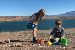
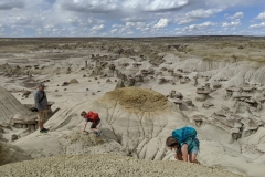
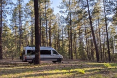
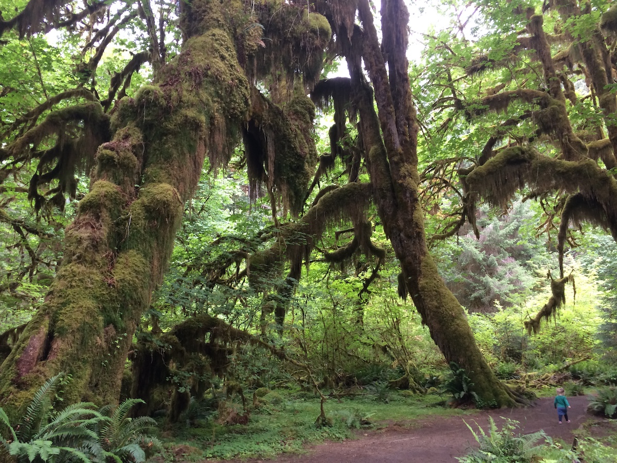
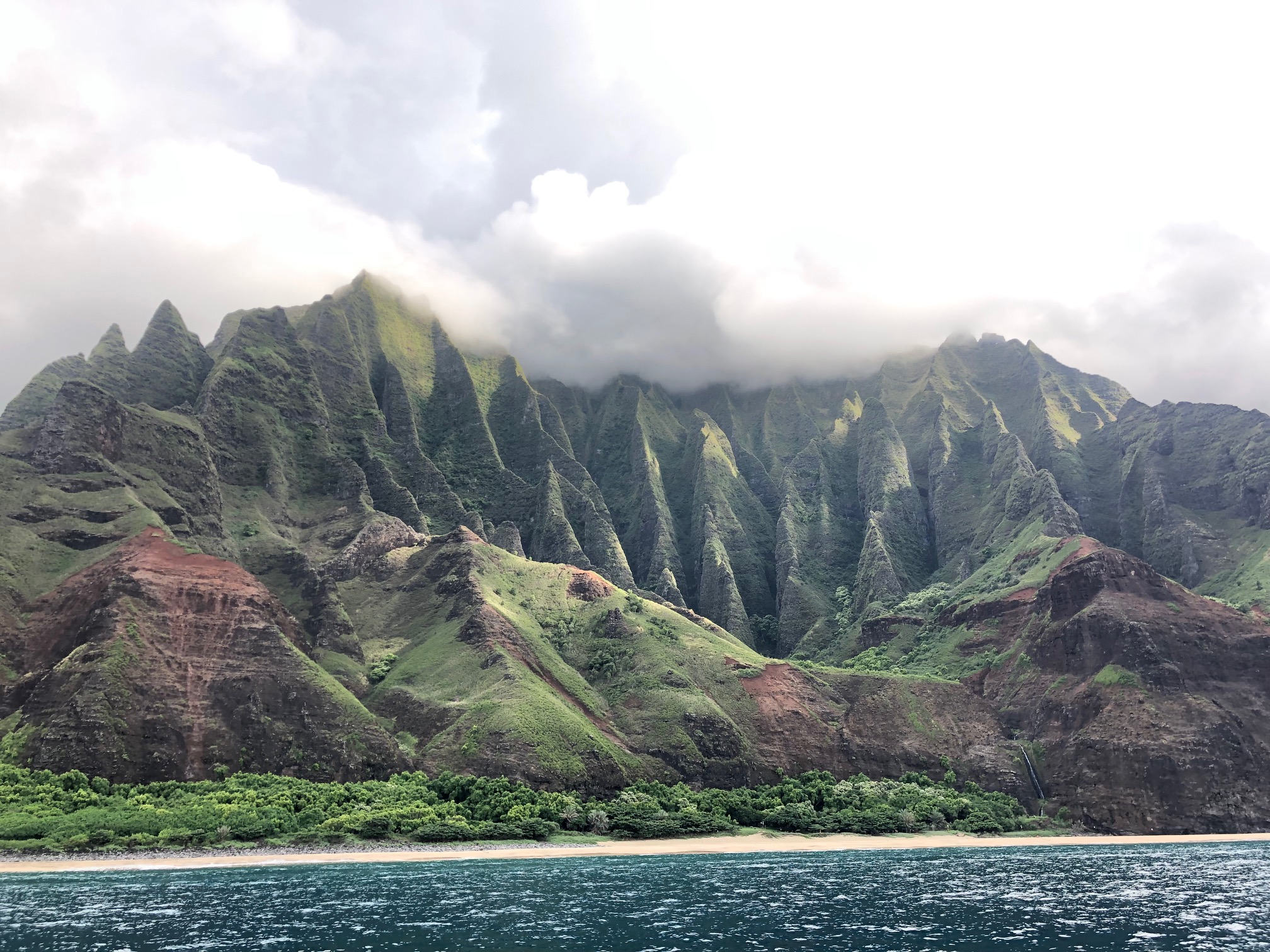
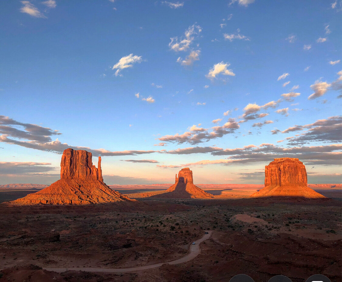
CAPITOL REEF GALLERY


BACK TO:

Click here to return to our Complete Guide to Capitol Reef National Park


